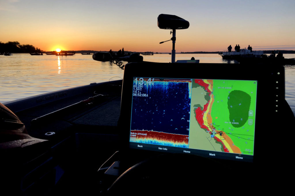
For a long time no one doubts the necessity and convenience of using navigational equipment on boats and yachts.
Radars and chartplotters complement each other during operation, greatly facilitating the navigation process and increasing navigation safety.
The navigation receiver will show the boundary and shape of the shoal, show the course to the sign from afar, will not let you miss the wind setting, etc. Now it is possible to create various configurations of such equipment that allow the exchange of information between devices. A feature of such an on-board network is the presence in its composition of devices that combine a number of tasks, for example, a radar and a chartplotter, a chartplotter and an echo sounder. By connecting all the sensors and instruments on board the boat to the on-board network, it becomes possible to display all the information on one large display. The diagram below shows one such network.
Depending on the size of the yacht, only part of the elements can be used. On yachts, they mainly use a set of chartplotters and a set of measuring instruments (tools). Data exchange within the system is carried out according to the NMEA-0183, NMEA-2000 protocol.
As you know, before choosing a supplier of high-tech marine electronics, shipbuilders are guided by several factors. This is a high reputation of the brand, and an intuitive interface, easy installation, a high level of quality of warranty and post-warranty service.
Garmin has achieved another success in the integrated marine networking market and has become the electronics supplier of choice for the world's leading marine builders and consumers.
This is confirmed by the conclusion of long-term contracts for the supply of navigation equipment for world-famous shipyards, such as: BAVARIA YACHTS, PRINCESS, SANLORENZO, SIGARETTE, SUNSEEKER, SEA REY, BAYLINER, STARFISHER, as well as Russian shipyards: SILVER, MASTER BOAT, shipbuilding company " PACIFICO" and others.
With a large selection of Garmin multifunction displays, boat designers are now offering a greater variety of instrument panels and complete solutions. As a result, dealers and end users also benefit from this collaboration through increased reliability, sailing comfort and ease of handling.
It is also important that shipbuilders and consumers are guided by the criteria of functionality and price / quality ratio.
Volvo Penta has been a leader in reliable marine engines and Electronic Vessel Control (EVC) systems for many years.
I would like to mention the formed strategic alliance with Garmin. This synergy of successful companies combines experience to develop and market new motion, control and navigation systems. These complete solutions from leading manufacturers have been highly acclaimed by customers as offering the ultimate in ideal sailing and handling conditions for end users.
In the summer of 2011, Garmin® was selected as the exclusive official supplier of marine navigation equipment: VHF VHF 300i AIS 600 communications systems, GMR™ 24HD radar, GSD 22 digital echo sounders, 10V autopilots and a line of marine sensors for ships support of the regatta of the 34th America's Cup. Complete Garmin electronics packages supplied, including GPSMAP® 7000 series multi-function 15-inch touchscreen displays, have been successfully used by regatta support vessels and have deservedly received awards for maximum practicality and intuitive control of vessels in extreme conditions.
According to expert users, the Garmin line of equipment for the fleet, boats and yachts is by far the most high-tech, reliable and modern.
In the spring of 2011, Garmin updated its line of fish finders for fishermen. The new Echo range of fish finders features high resolution displays and the latest HD-ID and Smooth Scaling technologies. HD-ID technology is Garmin's exclusive target tracking technology; Smooth Scaling is a continuous image technology that makes it impossible to lose the sonar image when changing depth ranges. In addition, this ability allows you to scroll through past sonar images so you don't miss anything of value! The application of these latest technologies was immediately appreciated by consumers.
Fishing and recreation on reservoirs
The Navikom company has released a guidebook “Fishing and recreation on reservoirs” for downloading to Garmin navigators. This unique guide will help you navigate the expanses of reservoirs in the Moscow region and neighboring regions. It contains the coordinates of 1800 points of convenient access to the shore, recommended places for both camping and various types of fishing. You will be able to view a photo of the selected object and read additional information about it. By pressing the “Start” button, the navigator will plot a route to the selected destination.
The Ruza Reservoir contains information about convenient approaches to the shore, convenient places for camping, fishing from a boat, fishing from the shore, winter fishing.
Verkhneruzsky, Vazuzsky, Yauzsky reservoir contains information about convenient approaches to the shore and convenient places for camping.


